 English
 Ελληνικά


-
Fast facts
Population 2021: 72 inhabitants
Older Censuses 2011: 93, 2001: 181, 1991: 215, 1940: 378 ,1869: 306 inhabitants
Population density per km2 5 inhabitants
Village altitude 570 m
Region averege altitude 588 m, mountain
Village land area 0,02 km2
Region land area 13,3 km2
Parish church 1 orthodox, Evaggelismos tis Theotokou (the Annunciation of Virgin).
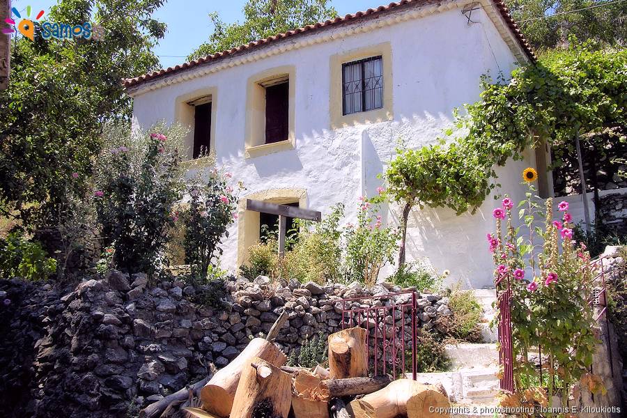
Economy relies mainly on agriculture (mainly vineyards, olives, vegetables), stock-farming.
-
Description
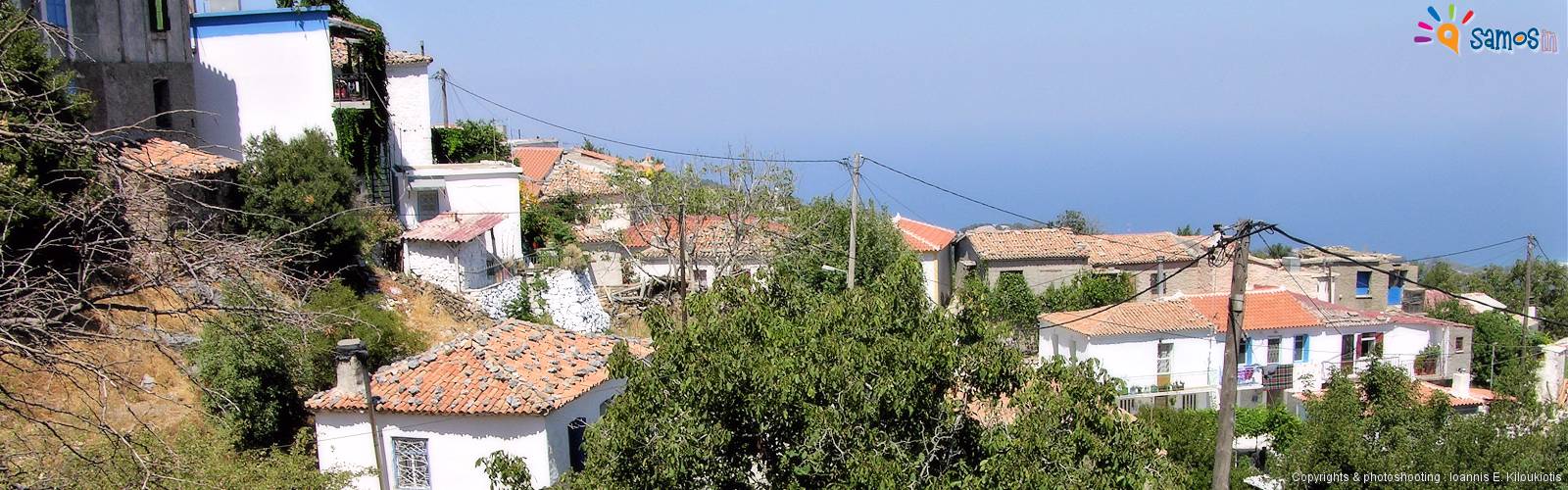
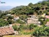
Kosmadei village (Greek: Κοσμαδαίοι) is located northwest at the island, lying northeast at the foot of Kerkis mountain. The distances are: from Samos town 42 km, from Karlovasi town 12,5 Km, from Pythagorio town 42 Km and from Marathokampos village 14 Km.
Administratively consists, the local communities of Kosmadei , which belongs to Karlovasi municipal unit, of West Samos Municipality with Karlovasi capital
Built at 570 m, it is the third highest village of Samos (along with Mesogeios village), with excellent view from northeast to northwest, to Aegean sea till Asia Minor coasts and Karlovasi town lying ahead.
The road to get to the village is uphill, but compensates with a beautiful view and lush vegetation, through which the road passes.
top-
Name
The name of the village comes from the first settler named Kosmas, who moved with his family from the nearby Kastania village .
top-
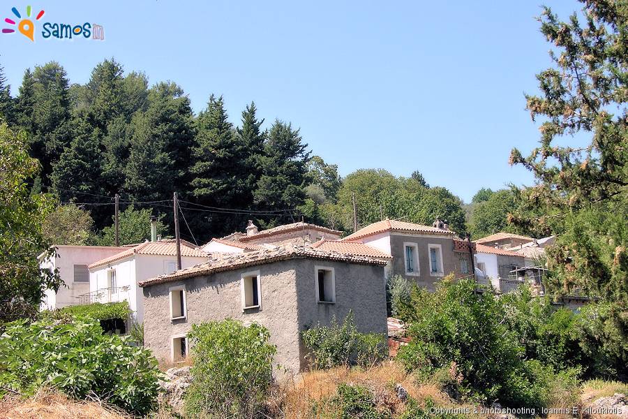
Settlements
Until the end of the 19th c., Kosmadei village included six settlements, the Kasolides, Galatridas, Antonakides, Plakiotes, Migardes and Nikoloudes, who took their names from the first settlers, and consisted of 191 houses, all settlements. During the period of the island’s revolution against the Ottomans (1821 – 1824), the inhabitants of the above settlements hosted the women and children from Karlovasi town, in order to protect them.
Today there is only the settlement of Nikoloudes with 11 inhabitants and it is located 3 km north-east Kosmadei on the road that leads to the village. The name of the settlement comes from the first inhabitant who was named Nikolaou. The name still exists in the village.
top-
Tips
- There is restaurant for coffee or lunch.
- By following the dirt road for 4 km, to the southwest of the village, in a wonderful environment you will reach the Monastery of “Kakoperato” dedicated to Holly Mary. Continuing the road you will arrive to Marathokampos village, after 9 km.
- For hiking, you can follow the dirt road (1 km, before the village) that leads to Megalo Seitani beach. The first 3,150 m can be done with a 4X4 car. Alternatively for the return you can follow the hiking route Megalo Seitani to Potami beach.
-
Video

